Type a search term to find related articles by LIMS subject matter experts gathered from the most trusted and dynamic collaboration tools in the laboratory informatics industry.
| Hohenweiler | |
 Hohenweiler | |
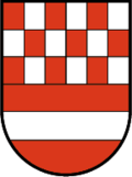
| Brasão | Mapa |
|---|---|

|
|
| Dados gerais | |
| País: | |
| Estado: | Vorarlberg |
| Distrito: | Bregenz |
| Coordenadas geográficas: | |
| Altitude: | 503 metros acima do nível do mar |
| Área: | 8.42 km² |
| População: | 1.327 (2019) |
| Densidade populacional: | 158 hab./km² |
| Placa de veículo: | B |
| Nº oficial de comunidade | 8 02 19 |
| Código postal: | 6914 |
| Código telefônico: | 05573 |
| Website: | sítio oficial |
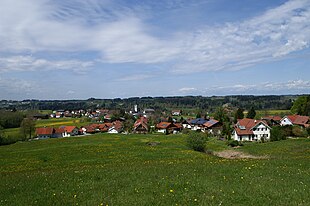
Hohenweiler é um município da Áustria, situado no distrito de Bregenz, no estado de Vorarlberg. Tem 8,42 km² de área e sua população em 2019 foi estimada em 1.327 habitantes.[1]