Type a search term to find related articles by LIMS subject matter experts gathered from the most trusted and dynamic collaboration tools in the laboratory informatics industry.
Ichhra اچھرہ | |
|---|---|
 | |
| Country | |
| Province | Punjab |
| City | Lahore |
| Administrative town | Samanabad Zone |
| Union council | 100 |
| Government | |
| • Type | Union Council |


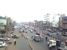
Ichhra (Punjabi, Urdu: اچھرہ) is a residential and commercial area in Lahore, Punjab, Pakistan.[1][2]
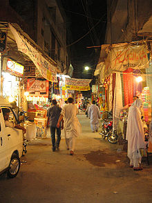
Being a very old locality, some very old buildings can be seen in Ichhra.[1] It is noted for its Ichhra Bazaar, among the most economical markets of Lahore.[3] This market is known for its traditional and cultural dresses and other handicrafts supplied from all over Punjab, as well as its furniture selection. There is a large Christian community living in Ichhra.[3]
There are many healthcare centers and hospitals in Ichhra. Ichhra forms Union Council (UC 100), and is administered as part of Samanabad Tehsil.
In 1931, Inayatullah Khan Mashriqi known as Allama Mashriqi, launched his Khaksar movement from Icchra (Ichhra) and in 1963, upon his death, Mashriqi was buried here.[4][5]
Syed Abul A'la Maududi, the Islamic scholar and founder of Jamaat-e-Islami (JI), also lived in Ichhra.
References