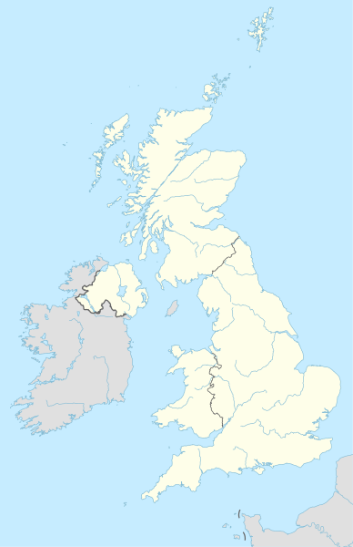
Fichero orichinal (fichero SVG, nominalment 886 × 1369 píxels, grandaria: 703 kB)
Historial d'o fichero
Punche en una calendata/hora ta veyer o fichero como amaneixeba por ixas envueltas.
| Calendata/Hora | Miniatura | Dimensions | Usuario | Comentario | |
|---|---|---|---|---|---|
| actual | 20:13 28 abr 2015 |  | 886 × 1369 (703 kB) | NordNordWest | == {{int:filedesc}} == {{Information |Description= {{de|1=Positionskarte des Vereinigten Königreichs}} {{en|1=Location map of the United Kingdom}} {{Location map series N |stretching=170 |top=61.0 |bottom=49.0 |left=-11.0 |right=2.2 }} |Source={{Own u... |
Uso d'o fichero
As 76 pachinas emplegan iste fichero:
- Abertawe
- Aeropuerto de Londres-Stansted
- Basildon
- Birmingham
- Blackburn
- Blackpool
- Bolton
- Bournemouth
- Bradford
- Brighton
- Bristón
- Caerdydd
- Cambridge
- Castiello de Dintagell
- Castiello de Windsor
- Chelmsford
- Cheltenham
- Colchester
- Coventry
- Crawley
- Derby
- Doolish
- Dudley
- Eastbourne
- Estadio de White City
- Exeter
- Gillingham
- Gloucester
- Huddersfield
- Ipswich
- Kingston upon Hull
- Leeds
- Leicester
- Liverpool
- Llanfairpwllgwyngyllgogerychwyrndrobwllllantysiliogogogoch
- Londres
- Luton
- Manchester
- Middlesbrough
- Muro d'Hadrián
- Newcastle upon Tyne
- Newport
- Northampton
- Norwich
- Nottingham
- Oldham
- Oxford
- Peterborough
- Plymouth
- Poole
- Portsmouth
- Preston
- Reading
- Rotherham
- Saint-Hélier
- Saint-Pierre-Port
- Saint Helens
- Seu de Bristón
- Seu de Saint Albans
- Seu de Sant Pavlo de Londres
- Sheffield
- Slough
- Southampton
- Southend-on-Sea
- Stockport
- Stoke-on-Trent
- Sunderland
- Sutton Coldfield
- Swindon
- Walsall
- Watford
- West Bromwich
- Wolverhampton
- Worcester
- York
- Plantilla:Mapa de localización Reino Uniu
Uso de fichers globals
Os siguients wikis fan servir iste fichero:
- Uso en ab.wikipedia.org
- Uso en af.wikipedia.org
- Uso en als.wikipedia.org
- Uso en ar.wikipedia.org
- كرة القدم في الألعاب الأولمبية الصيفية 2012
- قالب:خريطة مواقع المملكة المتحدة
- الدوري الإنجليزي الممتاز 2011–12
- كرة القدم في الألعاب الأولمبية الصيفية 2012 – مسابقة الرجال
- قالب:Location map many
- قالب:Location map many/شرح
- بطولة أمم أوروبا 2028
- سبتهيد
- مسابقة الأغنية الأوروبية 2023
- عجائب الطبيعة السبع للمملكة المتحدة
- Uso en arz.wikipedia.org
- Uso en ast.wikipedia.org
- Londres
- Gran Bretaña
- Islles Scilly
- Mar d'Irlanda
- Islles britániques
- Southampton
- Portsmouth
- Gran Esposición
- Old Trafford
- Meridianu de Greenwich
- Canal de la Mancha
- Coalisland
- Gran Premiu del Reinu Xuníu de 2007
- Gran Premiu del Reinu Xuníu de 2006
- Bardon Mill
- Palaciu de Westminster
- St Mary Bishophill Junior
- Gran Premiu del Reinu Xuníu de 2008
- Belfast
- Imperial College London
- Hyde Park
- Stonehenge
- Coventry
- Muséu Británicu
- Surrey
- Epsom and Ewell
Veyer mas información sobre l'uso global d'iste fichero.


