FAIR and interactive data graphics from a scientific knowledge graph
Sommaire
Apparence
| Koggenland | ||||
 Drapeau. |
||||
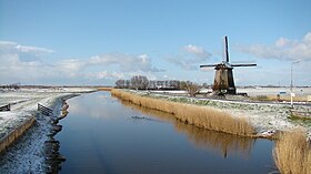
 Moulin à vent à Koggenland | ||||
| Administration | ||||
|---|---|---|---|---|
| Pays | ||||
| Province | Hollande-Septentrionale | |||
| Code postal | 1630-1634, 1640-1652, 1710-1713 | |||
| Indicatif téléphonique international | +(31) | |||
| Démographie | ||||
| Population | 22 425 hab. (1er mai 2014) | |||
| Densité | 268 hab./km2 | |||
| Géographie | ||||
| Coordonnées | 52° 37′ 32″ nord, 4° 57′ 06″ est | |||
| Superficie | 8 354 ha = 83,54 km2 | |||
| Localisation | ||||

| ||||
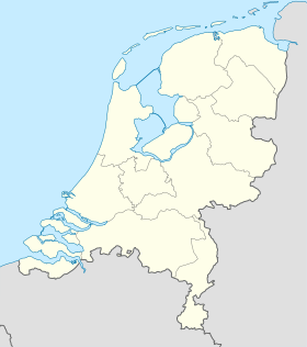
| Géolocalisation sur la carte : Pays-Bas
Géolocalisation sur la carte : Pays-Bas
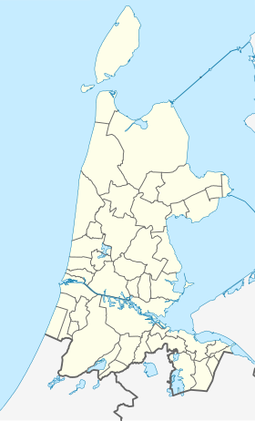
Géolocalisation sur la carte : Hollande-Septentrionale
| ||||
| Liens | ||||
| Site web | www.koggenland.nl | |||
| |
||||
Koggenland est une commune des Pays-Bas en province de Hollande-Septentrionale, dans la région de Frise-Occidentale. Elle a été créée le par la fusion des communes d'Obdam et de Wester-Koggenland.
Lien externe
- (nl) Site officiel


