FAIR and interactive data graphics from a scientific knowledge graph
Contents
Appearance
Katha Township | |
|---|---|
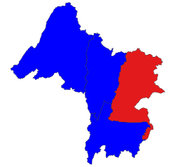
 Location in Katha district | |
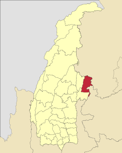
 Location in Sagaing region | |
| Coordinates: 24°13′N 96°08′E / 24.217°N 96.133°E | |
| Country | |
| Region | Sagaing Region |
| District | Katha District |
| Capital | Katha |
| Time zone | UTC+6.30 (MST) |
Katha Township is a township in Katha District in the Sagaing Region of Burma.[1] The principal town is Katha. The township is served by a branch (east-west) railway line that leaves the main line just north of Indaw.[2]
Notes
- ^ "Myanmar States/Divisions & Townships Overview Map" Archived 2010-12-03 at the Wayback Machine Myanmar Information Management Unit (MIMU)
- ^ "Sagaing Division (Upper)" Archived 2010-09-21 at the Wayback Machine map Myanmar Information Management Unit, Map Id: MIMU270v01, 5 August 2010
External links
- Maplandia World Gazetteer - map showing the township boundary


