Effects of the storage conditions on the stability of natural and synthetic cannabis in biological matrices for forensic toxicology analysis: An update from the literature
Contents
Blăjel | |
|---|---|
 Church in Blăjel | |
 Location in Sibiu County | |
| Coordinates: 46°13′N 24°19′E / 46.217°N 24.317°E | |
| Country | Romania |
| County | Sibiu |
| Government | |
| • Mayor (2020–2024) | Marius Mărginean (PNL) |
| Area | 34.02 km2 (13.14 sq mi) |
| Elevation | 344 m (1,129 ft) |
| Population (2021-12-01)[1] | 1,967 |
| • Density | 58/km2 (150/sq mi) |
| Time zone | EET/EEST (UTC+2/+3) |
| Postal code | 557050 |
| Area code | +40 x59 |
| Vehicle reg. | SB |
| Website | primariablajel |
Blăjel (German: Kleinblasendorf; Hungarian: Balázstelke) is a commune located in Sibiu County, Transylvania, Romania. It is composed of three villages: Blăjel, Păucea (Puschendorf; Pócstelke), and Romanești (Kalibák).
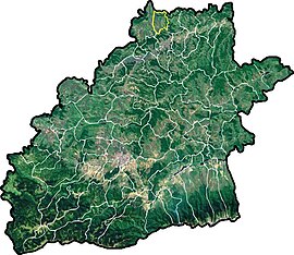
The commune is located in the northern part of the county, 65 km (40 mi) from the county seat, Sibiu. It sits on the Transylvanian Plateau, on the border with Mureș County and close to the border with Alba County. Its neighbors are: the city of Târnăveni to the north, the city of Mediaș to the south, Dârlos commune to the east, and Bazna commune to the west. Blăjel is traversed by national road DN14A, which runs from Mediaș to Târnăveni and on to Iernut.[2]
At the 2011 census, 68.9% of inhabitants were Romanians, 18.1% Roma, 12.1% Hungarians, and 0.7% Germans.
References
- ^ "Populaţia rezidentă după grupa de vârstă, pe județe și municipii, orașe, comune, la 1 decembrie 2021" (XLS). National Institute of Statistics.
- ^ "Descriere". primariablajel.ro (in Romanian). Blăjel town hall. Retrieved December 1, 2021.


