Type a search term to find related articles by LIMS subject matter experts gathered from the most trusted and dynamic collaboration tools in the laboratory informatics industry.
| gmina | |||||

| |||||
| |||||
| Państwo | |||||
|---|---|---|---|---|---|
| Region | |||||
| Departament | |||||
| Okręg | |||||
| Kod INSEE |
18033 | ||||
| Mer |
Serge Lepeltier (od 2005) | ||||
| Powierzchnia |
68,74 km² | ||||
| Populacja (1990) • liczba ludności |
| ||||
| • gęstość |
1100 os./km² | ||||
| Kod pocztowy |
18000 | ||||
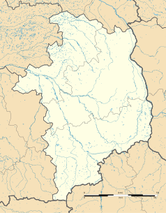
Położenie na mapie Cher  | |||||
Położenie na mapie Francji  | |||||
Położenie na mapie Regionu Centralnego-Doliny Loary  | |||||
| Strona internetowa | |||||

Bourges (ⓘ, buʁʒ) – miasto i gmina we Francji, w Regionie Centralnym, w departamencie Cher.
Miasto leży nad kanałem Berry, u zbiegu rzeki Auron i Yevre (dorzecze Loary). Stolica historycznej krainy Berry i ośrodek administracyjny departamentu Cher.
Według danych na rok 1990 gminę zamieszkiwało 75 609 osób, a gęstość zaludnienia wynosiła 1100 osób/km² (wśród 1842 gmin Region Centralnego Bourges plasuje się na 3. miejscu pod względem liczby ludności, natomiast pod względem powierzchni na miejscu 19.). Miasto Bourges w 2008 r. liczyło 64 tys. mieszkańców[1].
W mieście znajduje się stacja kolejowa Gare de Bourges.